Hådyr
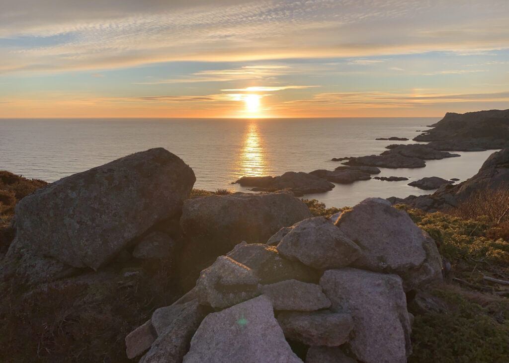
The Hådyr mountain top has been a navigational landmark since Viking times. With its white-painted top, it continues to serve as a navigational marker to this day.
Text: Arnt Olav Klippenberg
In the Saga of Olav the Holy, we can read: ‘Coal-black ships sailed swiftly forward over Hådyr’s sea off Lista. Inside the harbor of Eikundasund, the sea was black with large ships.’ Follow County Road 33. There is a designated parking area by the road. The walk to Hådyr takes about 45 minutes. The reward is a spectacular view.


Click to view the map. The map opens in a new window/map app.